Skip to main content
Measurements
Back
Measurements
Near real-time data
River Discharge
Water Level
Water Temperature
Hourly Precipitation
Daily Precipitation
Processed data
River Discharge
Water Level
Water Temperature
Recently updated
Time Series Overview
by Countries
by Rivers
by Sub-basins
System
Back
Measurements
About this website
Data providers
ICPDR
Stations
Hydrological
Meteorological
Overview map
Details table
Data access and usage
Data Policy
Disclaimer
User license agreement
User Log in
Contact
High Contrast Mode
Primary tabs
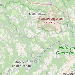
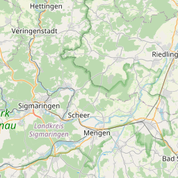
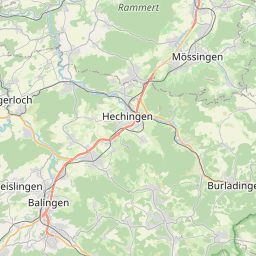
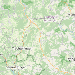
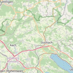
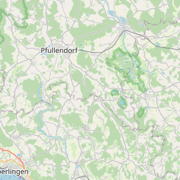
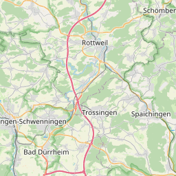
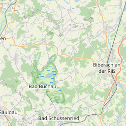
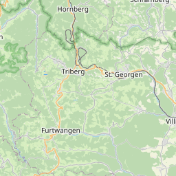
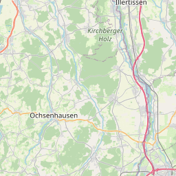
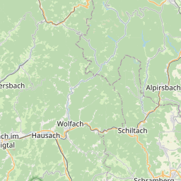
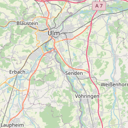
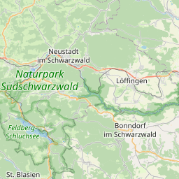
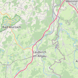
Stations overview map
(active tab)
Stations details table
Stations operated by State Institute for the Environment Baden-Württemberg (LUBW)
Type
<Any>
HYDRO
Country
<Any>
Germany
Operator
<Any>
LUBW
Sub-basin
<Any>
01 Upper Danube (DE, AT)
River
<Any>
Danube
Keyword
Active
True
False
●
●
●
OSM Mapnik earth
Bing Road map
ESRI Imagery map
ESRI NatGeo map
ESRI Street map
ESRI World Terrain layer
Google Road map
Google Terrain map
DanubeGIS Danube River Basin District
DanubeGIS DFRMP 2015: Flood Hazard Areas
DanubeGIS DFRMP 2021: Flood Hazard Areas
DanubeGIS DFRMP 2021: Water Gauging Stations
DanubeGIS DRBMP 2021: SWB Chemical Status
DanubeGIS DRBMP 2021: SWB Ecological Status
DanubeGIS DRBMP 2021: SW Monitoring Stations
DanubeGIS Surface Waters (incl. rivers >4000km² catchment)
10 km
Leaflet
|
© OpenStreetMap
contributors,
ICPDR
Name
Type
Nat. ID
Properties
River
Berg DE
HYDRO
6
h, h_mean_daily, Q, Q_mean_daily
Danube
Hundersingen DE
HYDRO
5
h, h_mean_daily, Q, Q_mean_daily
Danube
Möhringen-Espenbrücke DE
HYDRO
20
h, h_mean_daily, Q, Q_mean_daily
Danube
Visit our other Sites: