Skip to main content
Measurements
Back
Measurements
Near real-time data
River Discharge
Water Level
Water Temperature
Hourly Precipitation
Daily Precipitation
Processed data
River Discharge
Water Level
Water Temperature
Recently updated
Time Series Overview
by Countries
by Rivers
by Sub-basins
System
Back
Measurements
About this website
Data providers
ICPDR
Stations
Hydrological
Meteorological
Overview map
Details table
Data access and usage
Data Policy
Disclaimer
User license agreement
User Log in
Contact
High Contrast Mode
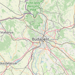
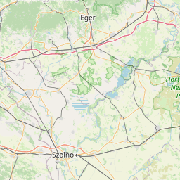
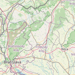
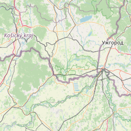
Time series: Daily mean river discharge (m³/s)
Country
<Any>
Croatia
Czech Republic
Germany
Hungary
Serbia
Slovakia
Slovenia
Sub-basin
<Any>
04 Morava (CZ, SK, AT)
05 Váh-Hron (SK, CZ, HU)
06 Pannonian Central Danube (AT, SK, HU, HR)
09 Tisa (SK, UA, RO, HU, RS)
River
<Any>
Bodrog
Danube
Hornád/Hernád
Hron
Ipeľ/Ipoly
Morava/March
Sajó/Slaná
Váh
Operator
<Any>
SHMU
●
●
●
●
●
●
●
●
●
●
●
●
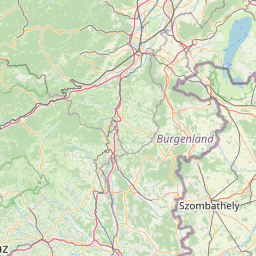
OSM Mapnik earth
Bing Road map
ESRI Imagery map
ESRI NatGeo map
ESRI Street map
ESRI World Terrain layer
Google Road map
Google Terrain map
DanubeGIS Danube River Basin District
DanubeGIS DFRMP 2015: Flood Hazard Areas
DanubeGIS DFRMP 2021: Flood Hazard Areas
DanubeGIS DFRMP 2021: Water Gauging Stations
DanubeGIS DRBMP 2021: SWB Chemical Status
DanubeGIS DRBMP 2021: SWB Ecological Status
DanubeGIS DRBMP 2021: SW Monitoring Stations
DanubeGIS Surface Waters (incl. rivers >4000km² catchment)
30 km
Leaflet
|
© OpenStreetMap
contributors, ICPDR (http://www.icpdr.org)
Station
Begin
End
Latest measurement
Bratislava SK
17.05.2005
31.12.2023
3,183
view results
Bratislava Devín SK
17.05.2005
31.12.2023
3,171
view results
Kamenín SK
17.05.2005
31.12.2023
122.5
view results
Komárno - most SK
17.05.2005
31.12.2023
3,846
view results
Lenartovce SK
17.05.2005
31.12.2023
33.39
view results
Medveďov-most SK
17.05.2005
31.12.2023
3,360
view results
Šaľa SK
17.05.2005
31.12.2023
337.4
view results
Salka SK
01.01.2007
31.12.2023
97.49
view results
Streda nad Bodrogom SK
17.05.2005
31.12.2023
251.4
view results
Štúrovo SK
17.05.2005
31.12.2023
4,735
view results
Záhorská Ves SK
17.05.2005
31.12.2023
373
view results
Ždaňa SK
17.05.2005
31.12.2023
55.99
view results
Visit our other Sites: